| |
|
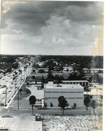 |
| Aerial view of East Oakland Park Blvd |
|
|
| Aerial view of East Oakland Park Blvd |
|
 |
| Aerial view of Hotel Casa Marina looking northeast to Garrison Bight |
|
|
| Aerial view of Hotel Casa Marina looking northeast to Garrison Bight |
|
|
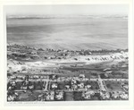 |
| Aerial view of La Gorce golf course |
|
|
| Aerial view of La Gorce golf course |
|
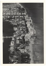 |
| Aerial view of Miami Beach looking north from 57th street |
|
|
| Aerial view of Miami Beach looking north from 57th street |
|
|
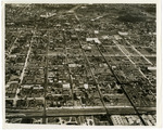 |
| Aerial view of Northwest Miami |
|
|
| Aerial view of Northwest Miami |
|
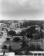 |
| Aerial View of Oakland Park Blvd East |
|
|
| Aerial View of Oakland Park Blvd East |
|
|
 |
|
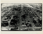
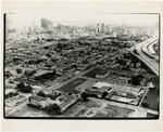
| Aerial view of Overtown |
|
 |
|
| Aerial view of Overtown |
|
|
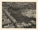 |
| Aerial view of parking lot behind Lincoln Road and Washington Avenue |
|
|
| Aerial view of parking lot behind Lincoln Road and Washington Avenue |
|
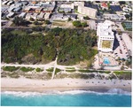 |
| Aerial views of Miami Beach |
|
|
Aerial views of Miami Beach
( 2 volumes ) |
|
|
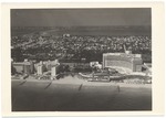 |
| Aerial views of Miami Beach, 1950s |
|
|
| Aerial views of Miami Beach, 1950s |
|
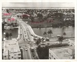 |
| Aerial views of Miami Beach, 1960s |
|
|
| Aerial views of Miami Beach, 1960s |
|
|
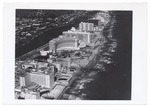 |
| Aerial views of Miami Beach and surrounding islands, 1960-1970 |
|
|
| Aerial views of Miami Beach and surrounding islands, 1960-1970 |
|
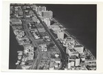 |
| Aerial Views of Miami Beach,1960-1980 |
|
|
| Aerial Views of Miami Beach,1960-1980 |
|
|
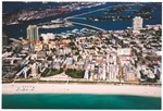 |
| Aerial views of South Beach, Government Cut, Miami Beach Marina, MacArthur Causeway and Islands, early 2000s |
|
|
| Aerial views of South Beach, Government Cut, Miami Beach Marina, MacArthur Causeway and Islands, early 2000s |
|
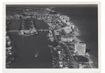 |
| Aerial views of the City of Miami Beach and the City of Miami 1960-1970 |
|
|
| Aerial views of the City of Miami Beach and the City of Miami 1960-1970 |
|
|
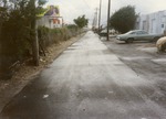 |
| Alley and NW 47th Street looking south |
|
|
| Alley and NW 47th Street looking south |
|
 |
| Anchor Hotel during rehabilitation and reconstruction works, 2000 |
|
|
| Anchor Hotel during rehabilitation and reconstruction works, 2000 |
|
|
 |
| Assembling for a parade, 1974 |
|
|
| Assembling for a parade, 1974 |
|
 |
| Atlantic & Bertha Avenues from overhead |
|
|
| Atlantic & Bertha Avenues from overhead |
|

